File:Philippines relief location map (Mindanao).svg

此 SVG 檔案的 PNG 預覽的大小:656 × 486 像素。 其他解析度:320 × 237 像素 | 640 × 474 像素 | 1,024 × 759 像素 | 1,280 × 948 像素 | 2,560 × 1,897 像素。
原始檔案 (SVG 檔案,表面大小:656 × 486 像素,檔案大小:2.21 MB)
.svg?uselang=zh-hant)
.svg?uselang=zh-hant)
.svg?action=history&uselang=zh-hant)
摘要
| 描述 |
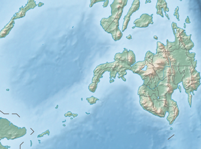
English: Physical location map of the Philippines (Mindanao)
Equirectangular projection based on the parallel of 10°43' N
|
| 日期 | |
| 來源 | File:Philippines location map (square).svg |
| 作者 | User:Hellerick |
| 其他版本 |
本檔案衍生自: Philippines relief location map (square).svg: .svg) |
.svg)
授權條款
此檔案採用創用CC 姓名標示-相同方式分享 3.0 未在地化版本授權條款。
- 您可以自由:
- 分享 – 複製、發佈和傳播本作品
- 重新修改 – 創作演繹作品
- 惟需遵照下列條件:
- 姓名標示 – 您必須指名出正確的製作者,和提供授權條款的連結,以及表示是否有對內容上做出變更。您可以用任何合理的方式來行動,但不得以任何方式表明授權條款是對您許可或是由您所使用。
- 相同方式分享 – 如果您利用本素材進行再混合、轉換或創作,您必須基於如同原先的相同或兼容的條款,來分布您的貢獻成品。
檔案歷史
點選日期/時間以檢視該時間的檔案版本。
| 日期/時間 | 縮圖 | 尺寸 | 使用者 | 備註 | |
|---|---|---|---|---|---|
| 目前 | 2017年10月27日 (五) 14:36 | | 656 × 486(2.21 MB) | Mliu92 | Updated crop to add missing island. |
| 2017年10月26日 (四) 17:23 |  | 573 × 573(2.21 MB) | Mliu92 | User created page with UploadWizard |
檔案用途
沒有使用此檔案的頁面。
全域檔案使用狀況
以下其他 wiki 使用了這個檔案:
- bcl.wikipedia.org 的使用狀況
- bn.wikipedia.org 的使用狀況
- en.wikipedia.org 的使用狀況
- Sulu Sea
- Moro Gulf
- Mount Apo
- Davao Gulf
- Iligan Bay
- Panguil Bay
- Bud Dajo
- Mount Butung
- Agusan River
- Lake Lanao
- Rio Grande de Mindanao
- Butuan Bay
- Mount Agad-Agad
- Mount Hibok-Hibok
- Mount Makaturing
- Mount Matutum
- Musuan Peak
- Agus River
- Sibuguey Bay
- Illana Bay
- Mount Sumagaya
- Dinagat Island
- Davao River
- Leonard Kniaseff
- Mount Kitanglad
- Macajalar Bay
- Pulangi River
- Cagayan River (Mindanao)
- Mount Dulang-dulang
- Tagoloan River
- Lake Buluan
- Lake Wood (Philippines)
- Lake Dapao
- Mount Malindang
- Mount Kalatungan
- Latukan
- Mount Balatukan
- Mount Hamiguitan
- Mount Baya
- Agusan Marsh Wildlife Sanctuary
- Camp General Basilio Navarro
- 2010 Mindanao earthquakes
- Manupali River
檢視此檔案的更多全域使用狀況。
.svg)
.svg)